![]()
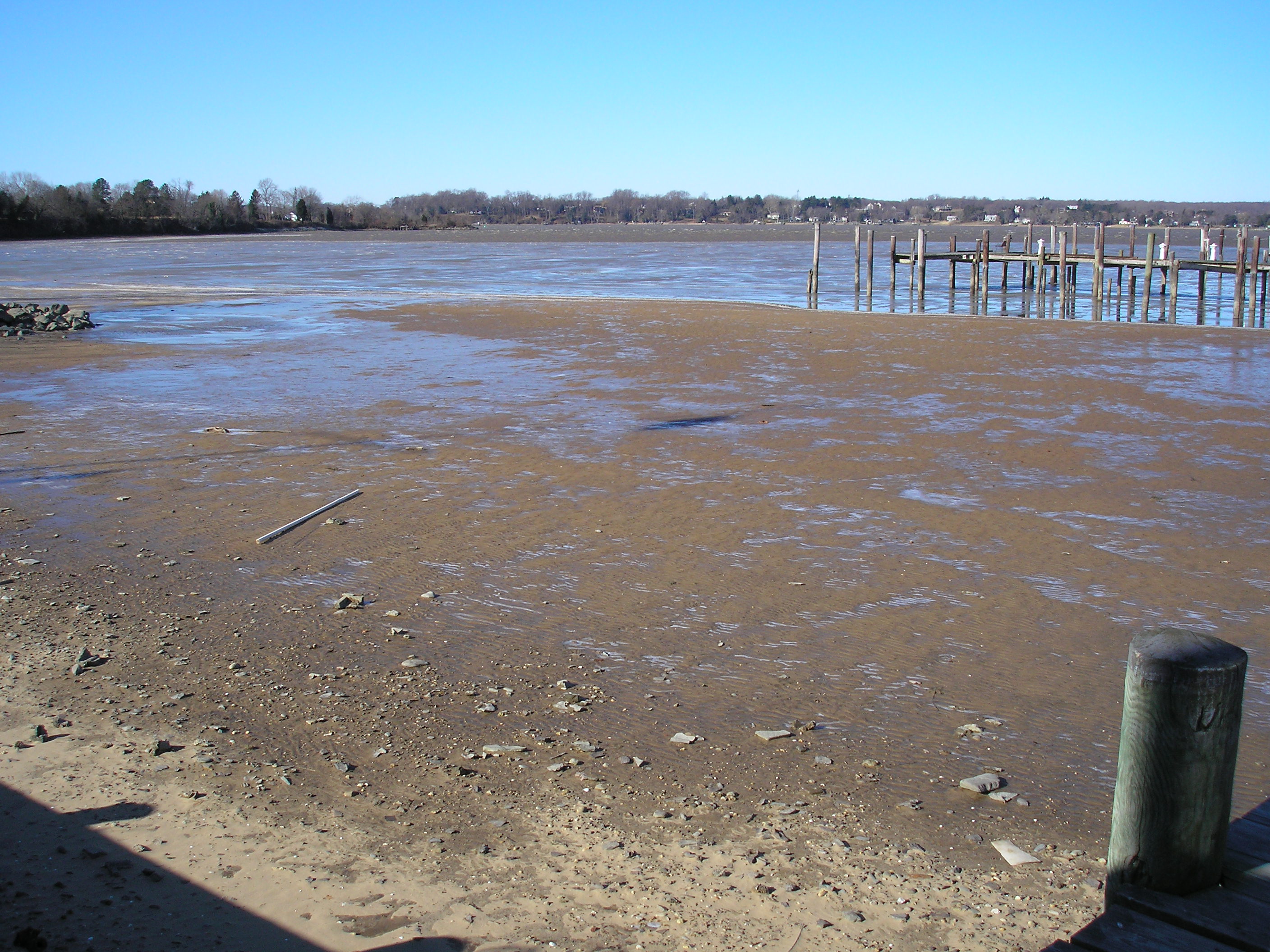
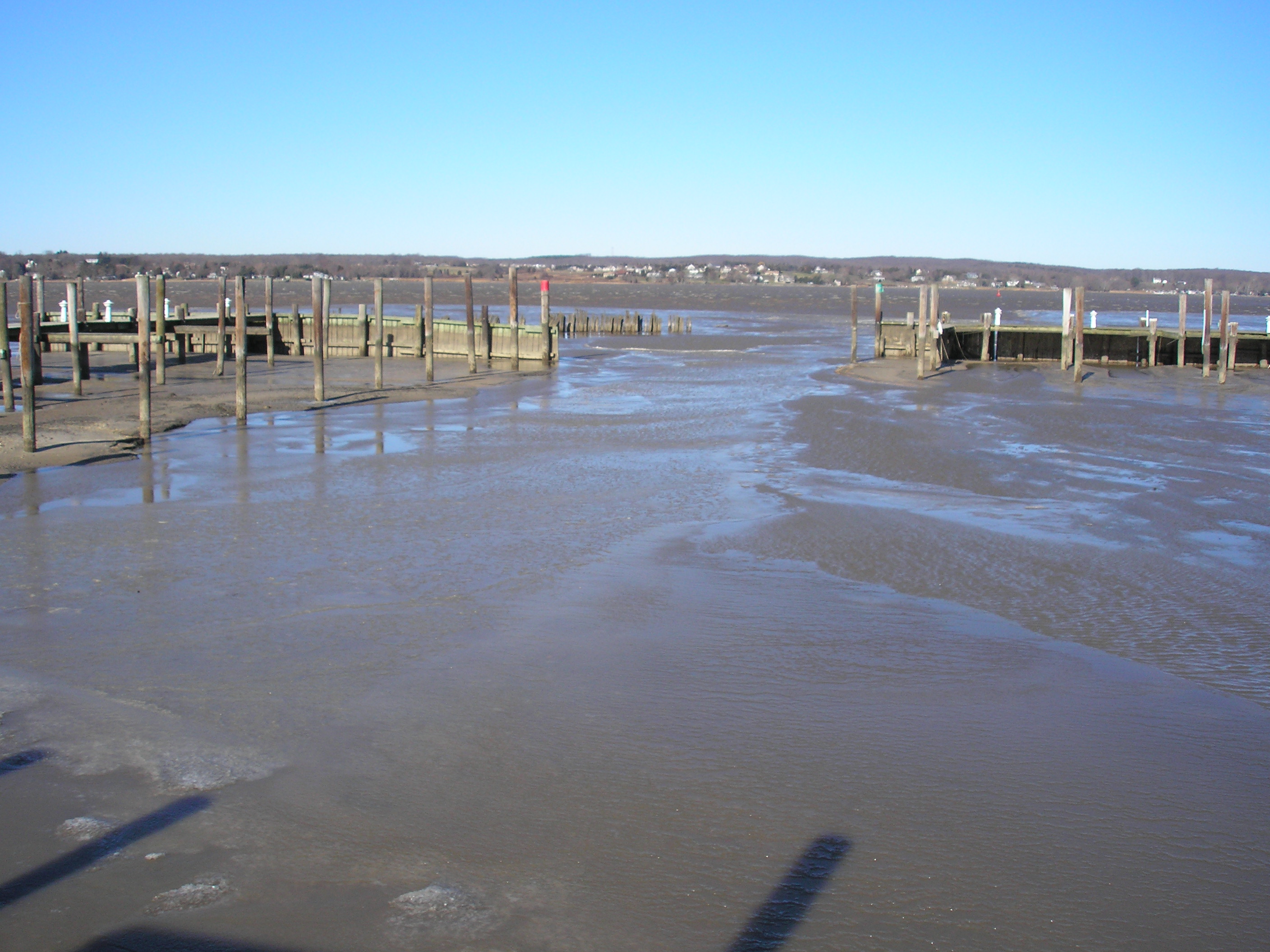
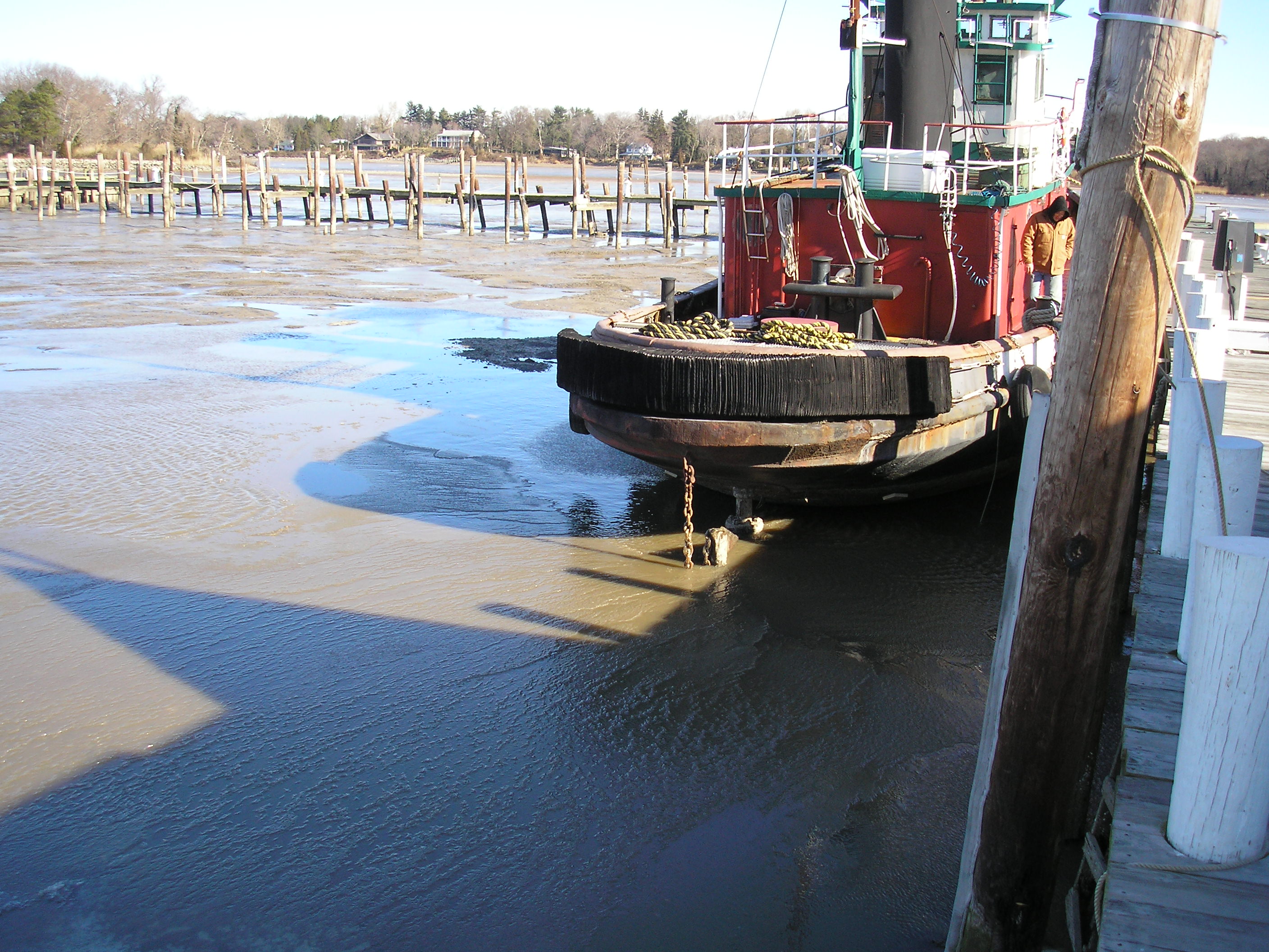
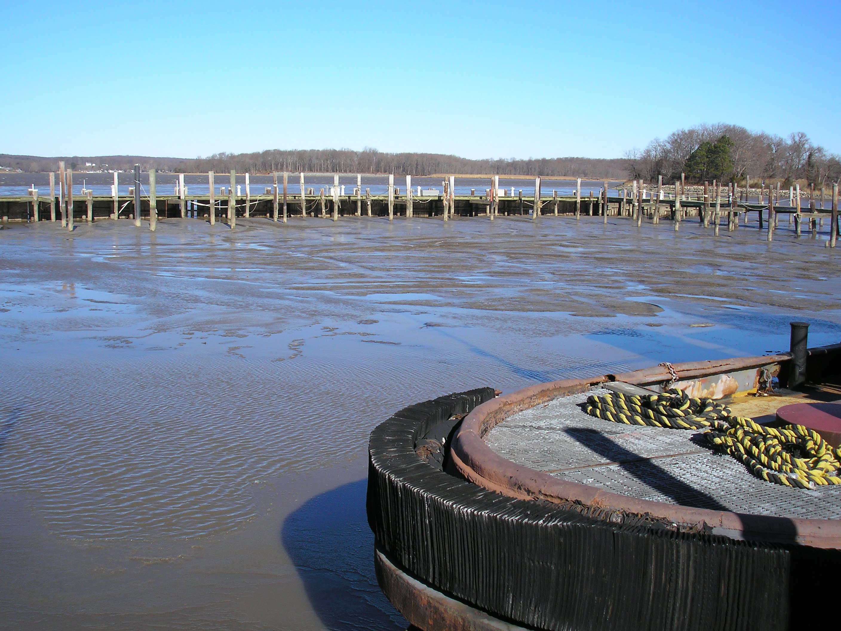
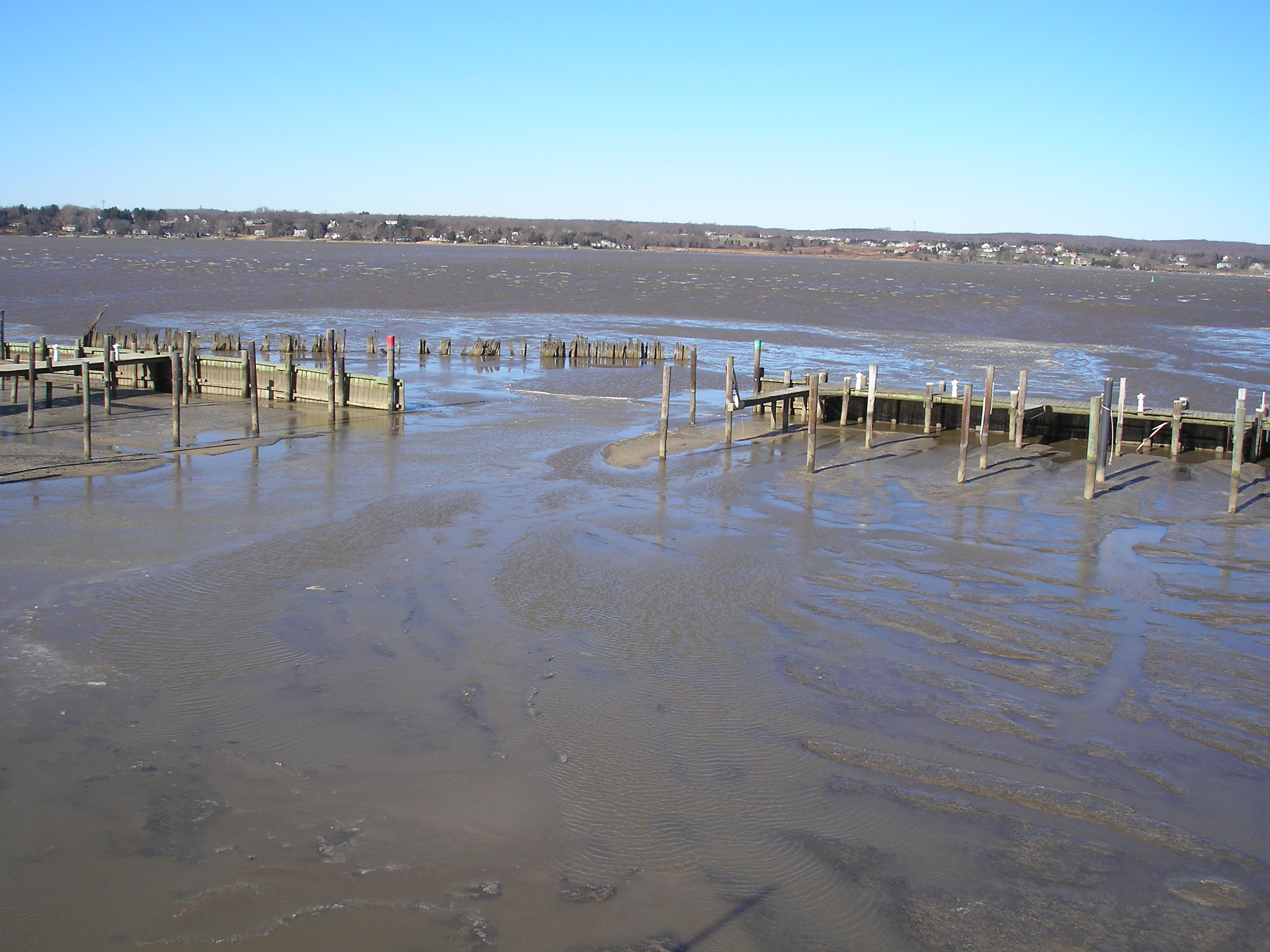
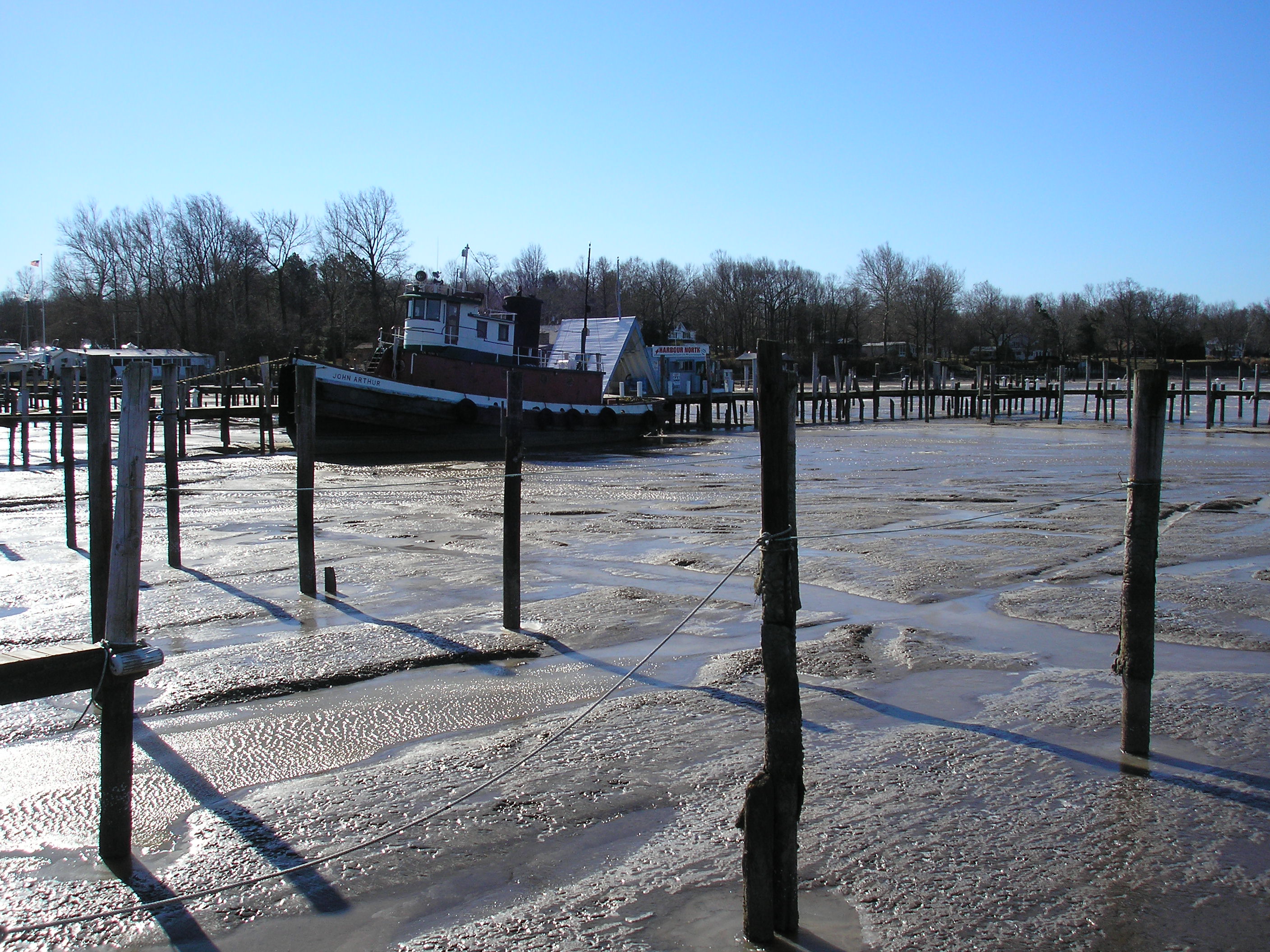
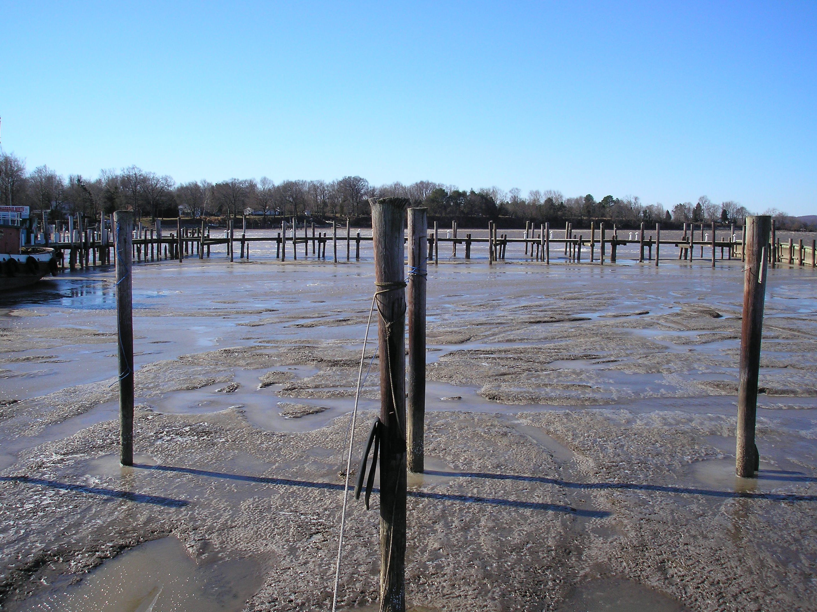
For those who are not familiar with the upper Chesapeake Bay, it averages 4 feet deep except where it has been dredged. The John Arthur typically berths at Harbour North Marina and water depths there are, well questionable. I took these pictures in January 2006 after four days of strong winds blowing out of the north. What these winds do is blow all the water right out of the bay. During these windy days, our diurnal tides become one long low tide that might last for the duration of the north winds. A regular tide averages 3 feet.


This link is to the monitoring station at the Army Corp of Engineers Bulkhead in Chesapeake City. It's part of the C & D Canal Traffic Control Station. There is a museum with some interesting facts and two large steam engines that used to pump water into the canal.